Last checked
How do you get to Api Base Camp?
Fly or drive from Kathmandu to the far west, continue by road to Darchula and Gokuleshwar, then walk up through the Api Nampa Conservation Area for more than a week, gaining over 3,000 m.
Getting to the trailhead alone takes several days. This is not a trek to squeeze into a short holiday.
Lodging is very limited. There are some basic lodges and homestays, including one at base camp, but many groups carry camping support.
You need the Api Nampa Conservation Area permit, NPR 3,000 for foreign nationals, arranged in Kathmandu through a registered agency.
What makes Api special?
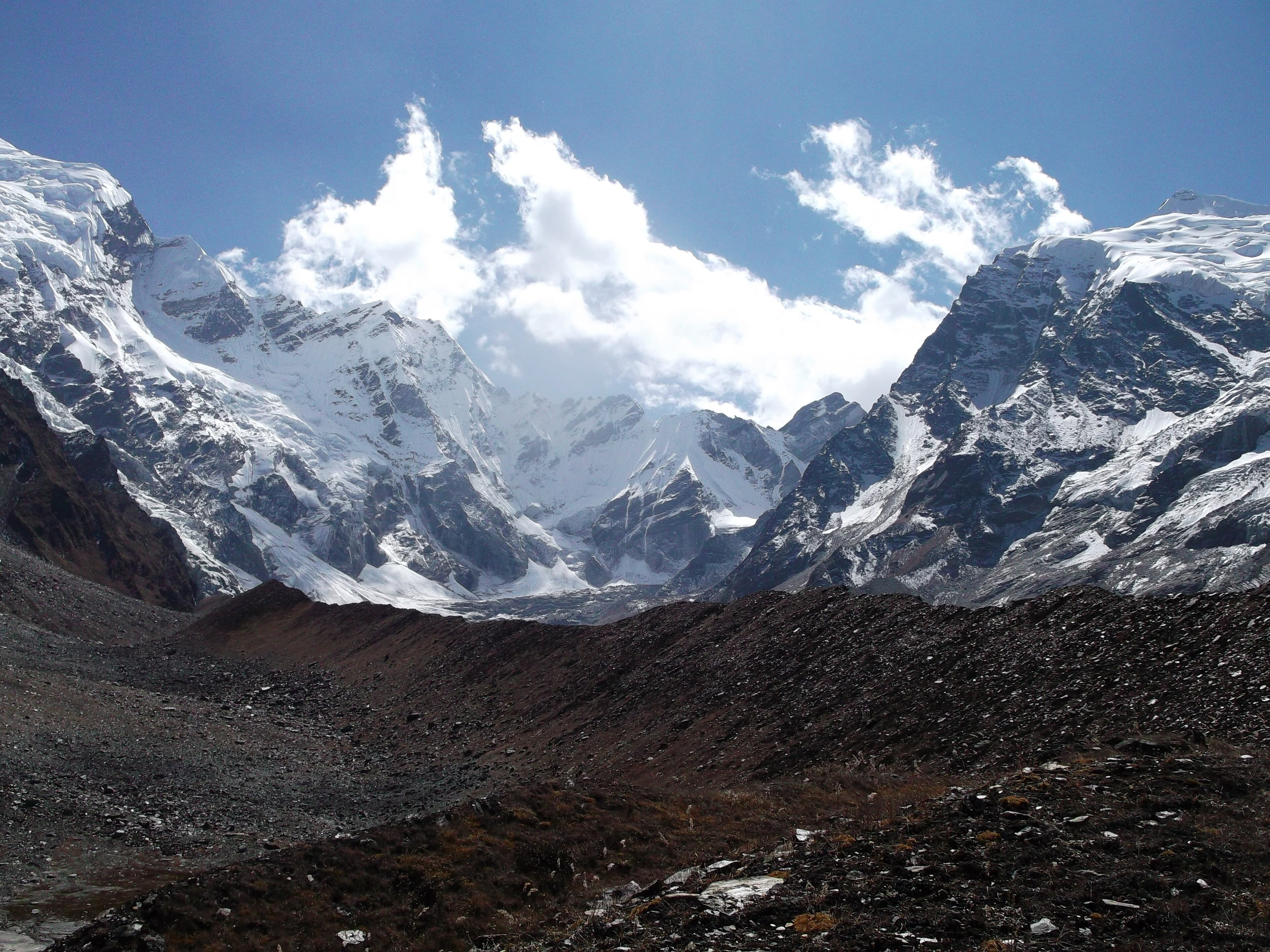
Api rises dramatically from unusually low surrounding valleys. Its south face stands 3,300 m above its base, which makes it one of the most striking mountains in Nepal even though it is not among the highest.
The first ascent was made in 1960 by the Doshisha Alpine Society of Japan. Earlier attempts in 1953 and 1954 failed, the second with the loss of two climbers.
The conservation area around it covers 1,903 square kilometres and was established in 2010 as part of the Kailash Sacred Landscape.
Who is Api Base Camp for?
Experienced trekkers who want real remoteness, are comfortable with camping and basic food, and have three weeks to spare.
Wildlife in the area includes snow leopard, Himalayan black bear, red panda, musk deer and Himalayan monal.
Go with an experienced agency and guide. Rescue and communications are far more limited than on the main routes.
Things to do in Api Base Camp
- 01
Api and Nampa views
Views of Api's south face and neighbouring Nampa from the base camp plateau.
- 02
Far western villages
Hill villages along the approach that see very few foreign visitors.
- 03
Wildlife
Forest and high meadow habitat with musk deer, monal and, rarely, snow leopard.
Frequently asked questions
Sources checked
- Api (mountain)Wikipedia, checked 30 September 2026
- Api Nampa Conservation AreaWikipedia, checked 30 September 2026
- Api Nampa Conservation AreaDepartment of National Parks and Wildlife Conservation, checked 30 September 2026
- Terrain elevation dataOpen Topo Data (SRTM 90 m), checked 30 September 2026
- Coordinates and place namesOpenStreetMap contributors, checked 30 September 2026
Fees and regulations in Nepal change. This page was last verified on 30 September 2026.