Last checked
What makes the Annapurna region different?
Range. Within one conservation area you can walk a five day village loop at 3,200 m or a three week circuit over a 5,416 m pass into Tibetan-influenced high desert, and every route is reachable by road from Pokhara without a flight.
That road access is the practical advantage over the Khumbu. No Lukla lottery, no weather days lost, and trips can start the morning you arrive in Pokhara.
The variety is genuine rather than marketing. The lower Annapurna trails run through rice terraces and Gurung villages, the Thorong La crossing is high alpine, and Upper Mustang beyond it is arid Tibetan plateau.
Road building has reached parts of the classic Circuit, which has pushed the best walking onto the newer high trails on the opposite bank. Ask any operator specifically which side of the valley their itinerary follows.
How do you get to the Annapurna region?
Fly or drive to Pokhara, then take a jeep to the trailhead. The flight from Kathmandu takes 25 minutes, the tourist bus takes seven to eight hours, and trailheads are one to four hours further by road.
Pokhara International Airport handles the domestic flights and the town itself is the staging base for every route in the region.
Trailheads by drive time from Pokhara: Kande and Phedi under an hour, Nayapul and Jhinu Danda around two hours, Besisahar for the Circuit about four.
Permits are issued at the Nepal Tourism Board offices in both Kathmandu and Pokhara, which is the last easy admin stop before you start.
Which treks can you do in the Annapurna region?
Eight main routes. Poon Hill in four days, Mardi Himal in five, Annapurna Base Camp in ten, the full Annapurna Circuit in sixteen to eighteen, and Upper Mustang in twelve with a restricted area permit.
Poon Hill and Mardi Himal are the short options, both under 4,500 m, both walkable in under a week from Pokhara.
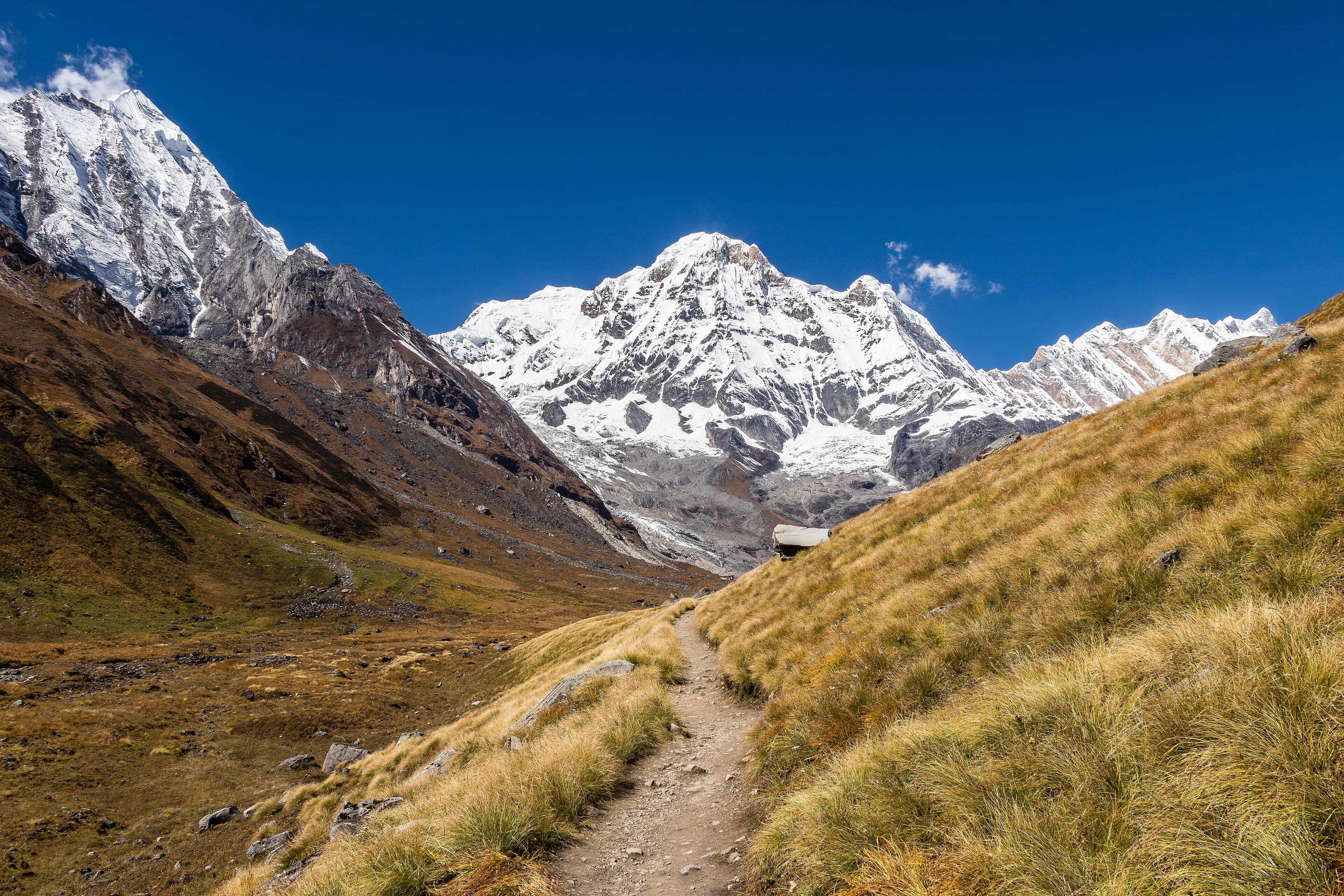
Annapurna Base Camp at ten days is the region's signature route and the best first Himalayan trek in Nepal.
The Annapurna Circuit crosses Thorong La at 5,416 m, the highest trekking pass most people will walk, and finishes in Jomsom or Pokhara.
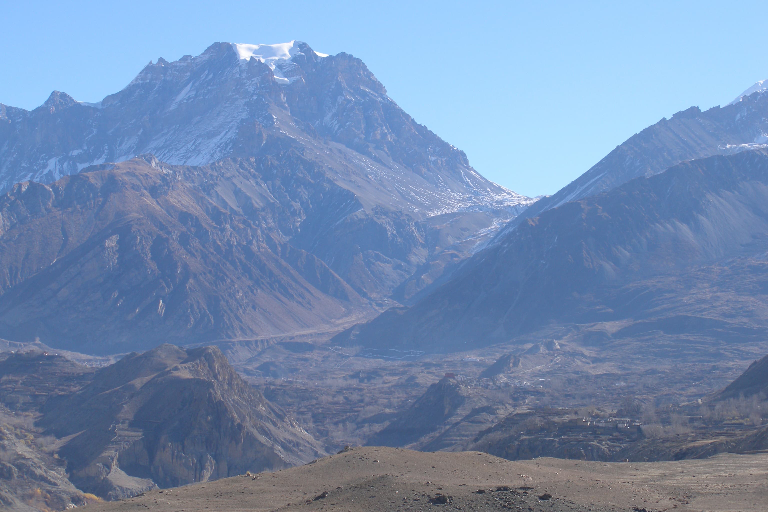
Upper Mustang requires a restricted area permit costing several hundred US dollars and a minimum of two trekkers, and it is a completely different landscape from anything else on this list.
Who lives in the Annapurna region?
Gurung and Magar communities hold the middle hills, Thakali people the Kali Gandaki valley, and Loba communities of Tibetan descent the high country of Mustang. The mix changes noticeably every two days of walking.
The lower villages of Ghandruk and Chhomrong are Gurung, with a long history of Gurkha military service that you will see in the village museums.
Marpha and Tukuche in the Kali Gandaki are Thakali towns, known for apple brandy and the best food on any trekking route in Nepal.
North of Kagbeni the culture is Tibetan Buddhist and the architecture switches to flat-roofed mud brick.
Permits for the Annapurna Region
Annapurna Conservation Area Permit (ACAP)
Issued by National Trust for Nature Conservation
- Foreign
- NPR 3,000
- SAARC
- NPR 1,000
Covers the whole conservation area. Buy it in Kathmandu or Pokhara, since the checkpost charges double.
Places you will pass through
Frequently asked questions
Sources checked
- Annapurna Conservation Area ProjectNational Trust for Nature Conservation, checked 27 September 2026
Fees and regulations in Nepal change. This page was last verified on 27 September 2026.